
Description
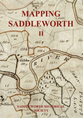
The first volume of this two volume set contains printed maps of the parish 1771-1894. The earliest details maps in which Saddleworth appears are the early published maps of Yorkshire, Jeffreys’ 1771-2, Greenwood’s 1818 and Teesdale’s of 1828. Despite their small scale the maps arer surprisingly detailed showing the location of water mills and individual settlements. Jeffreys’ is particularly intersting in that it was produced at a time before the construction of the Huddersfield Narrow Canal, and all but one of the turnpike roads through the district. The first Ordnance Survey maps of Saddleworth are reproduced on a large scale and in full colour. The 1854 6in to 1 mile map is reproduced in twenty-eight A3 plates and the 1892-4 25in to 1 mile (1:2500) in sixty-seven A3 plates. The locally published Saddleworth Moor Enclosure Map of 1840 was the product of the long process of assessing common right claims and maps the final allocations to claimants. Taken together the maps show the industrial development of Saddleworth and the emergence of the Saddleworth villages.
Special Offer – Volumes I & II for £13